AI4Copernicus: Solving many societal challenges with the combination of satellite data and artificial intelligence
Predicting floods. Monitoring land subsidence. Improving crop yields. With the help of satellite data, we can make our society smarter, more sustainable, and safer. Especially when we also leverage artificial intelligence for this purpose. This was evident during the international conference AI4Copernicus, held on May 22 at the NSO in The Hague.
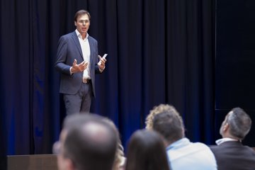
The Netherlands experienced its warmest year ever recorded in 2023. A harbinger of what awaits us in the future, according to Minister Mark Harbers of Infrastructure and Water Management. He opened the international conference AI4Copernicus at the NSO in The Hague with an urgent message: climate change brings new challenges for our water management, soil, and infrastructure, which are crucial for our society.
Harm van de Wetering, director of Netherlands Space Offic. Image: SJM Photography.
For solutions, we should certainly consider satellite data and artificial intelligence, which can help us process this data faster and better. “Europe has made earth observation an absolute priority. And rightly so,” said NSO Director Harm van de Wetering. “Satellite data give us unprecedented opportunities to better understand complex threats like drought, wildfires, floods, and changes in our oceans.”
Satellites detect land subsidence
The AI4Copernicus conference, along with a radar data side-event a day earlier, featured dozens of examples of how satellite data can make a difference. PhD candidate Philip Conroy from TU Delft showcased the first-ever map of subsidence in peatlands. He used over sixteen hundred satellite images for this. Coloured dots from green to red show precisely how much the ground has subsided. Gert Mulder from Rijkswaterstaat used similar satellite data to investigate the condition of the foundation of the Hagesteinse Bridge on the A27, crucial information as the bridge is set to be replaced soon.
When a roundabout and a bike path in a North Holland municipality suddenly showed cracks, Hanno Maljaars from SkyGeo investigated the subsidence using radar satellite data. He discovered the cause: construction activities. “Thanks to a large archive of historical observations, you can also look into the past with satellite data,” Maljaars explained based on the images. “We could show that the ground, after years of stability, suddenly subsided by dozens of millimeters because a construction company had been pumping water out of a construction site for weeks.”
Investments in usage lag behind
Satellites are invaluable for our safety, argued Professor Wolfgang Wagner from the Technical University of Vienna. “It's breathtaking what you can discover with satellite information. But the transition from scientific research to applications, such as a flood warning system, is not easy. You need a continuous data stream from the entire planet, smart algorithms, and a lot of computing power.”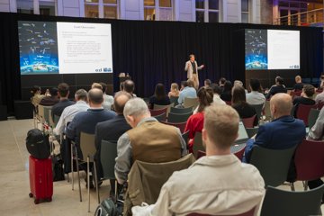
Prof. Wolfgang Wagner. Image: SJM Photography.
Wagner is critical of how Europe is currently fulfilling its earth observation ambitions: “We invest in magnificent hardware and develop more and more powerful satellite missions. But we are nowhere near investing enough in utilizing all the data these satellites produce.”
The European Space Agency (ESA) expects to launch 78 new satellite missions in the coming years. The Copernicus program is estimated to produce an exabyte – that's a million terabytes – of data by 2034. That's far too much to download all from space to Earth. According to Dennis Clarijs, program manager at the Belgian VITO, we need to process some of this data with artificial intelligence already in space. This would save a lot of time and costs here on Earth.
Thinking Satellite Instruments
On a small scale, experiments with AI in space are already underway. Satellite instruments use smart algorithms to select relevant information for end-users and only send that data down. Or they compress raw data into an end product that contains over 99.9 percent of all information but requires much less storage space – a method comparable to compressed PDF documents or JPEG images we all send here on Earth.
Smarter, faster, and especially smaller. These are the satellites of the future, according to Jian Guo from TU Delft. During the Radar Data for Soil and Water workshop, a side event of the symposium, he explained how five interconnected cubesats could monitor the entire water surface of the Earth with details of less than a kilometer. “It's a crazy concept,” he admitted. “But it costs only twenty million euros and could be operational by the end of this decade.”
Benjamin Palmaerts from ISSEP hopes to have his satellite application ready sooner. He studied the floods in Belgium in the summer of 2021 to develop an application for emergency response after floods. The application links radar data from space to available data on Earth and processes the data with artificial intelligence. Even data from Facebook users, for example, is included in the application to see where people are fleeing and who might still need to be rescued. “We will see more floods in the future,” said Palmaerts. “Applications like these can help water boards, emergency services, and dozens of other stakeholders during a flood.”
Satellite data for everyone
Vincent Langelaan, senior asset manager at the Port of Rotterdam, summarized the conference's content beautifully: “I hope satellite data will be used much more. And not just by the smart people here in the room, but especially by 'ordinary' people who don't know how satellites work, like me.” For Langelaan, satellite data is now the 'first line of defence' regarding the quality of quays, cranes, and other vital parts of 'his' port in Rotterdam: “With radar satellite data, we determine with millimetre precision whether something is subsiding or shifting. And that at low cost and without inconveniencing port users.”
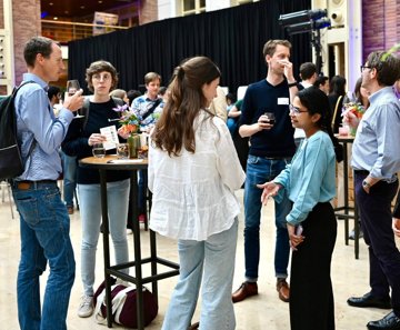
Sharing knowledge and experience during networking. Image: SJM Photography.
During coffee, after the closing drinks, and in break-out sessions at AI4Copernicus, Langelaan's story resonated well. A vanguard in Europe is already familiar with the possibilities of satellite data. But most people are not familiar with it or don't know how to use the data to their advantage. Seraphine Luneau, project leader of the European FPCUP program, which promotes the use of Copernicus data: “If you work with this data daily, you sometimes forget how important it is to raise awareness about Copernicus's capabilities and the importance of satellite information for Earth. As a society, we can reap the benefits of everything that is already up there in space.”
About AI4Copernicus
The international AI4Copernicus conference on May 22, 2024, had the theme Benelux day for shared challenges on water, infrastructure, and soil monitoring. The event was organized by the NSO in collaboration with the Copernicus Relays of Belgium and Luxembourg. On May 21, the NSO hosted a side event: the Radar Data for Soil and Water workshop. More information about both events can be found on the AI4Copernicus website.